Vly & Bearpen
Trail notes from Vly and Bearpen, part of the Catskill 3500 challenge.
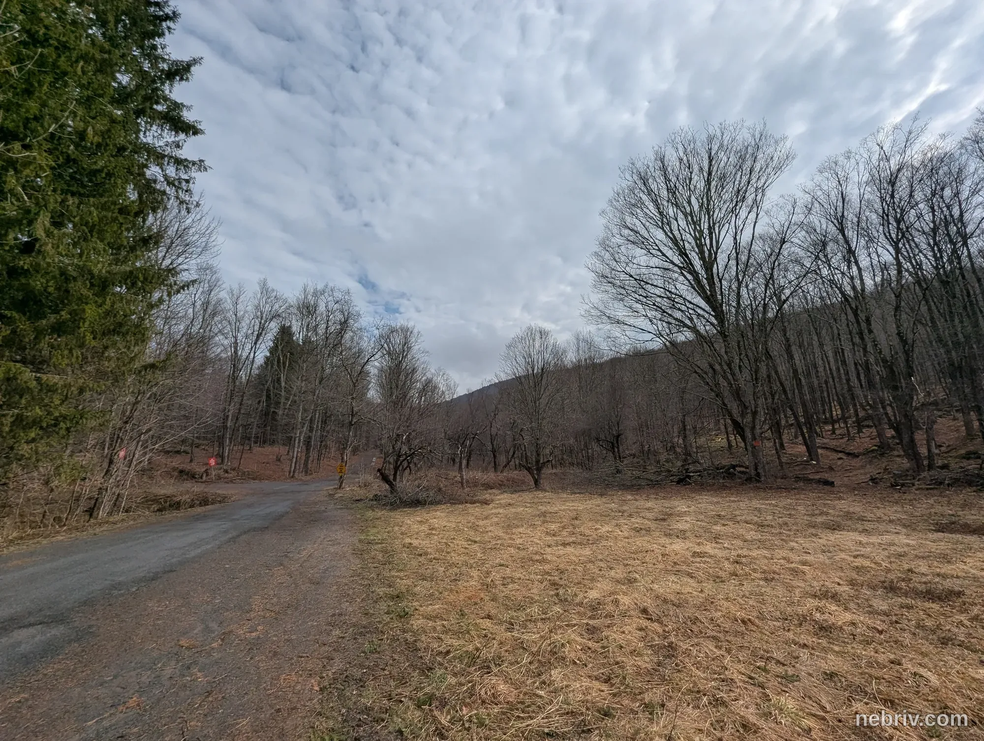
permalink nebrivUp the old county road, very rocky. Turns out, I don’t like hikes that go straight into a climb. I need a little warm up at least! Top of the road was an old hunting shack, still used. Hike was odd because it borders on private property. I was a bit weary of crossing over that imaginary boundary.
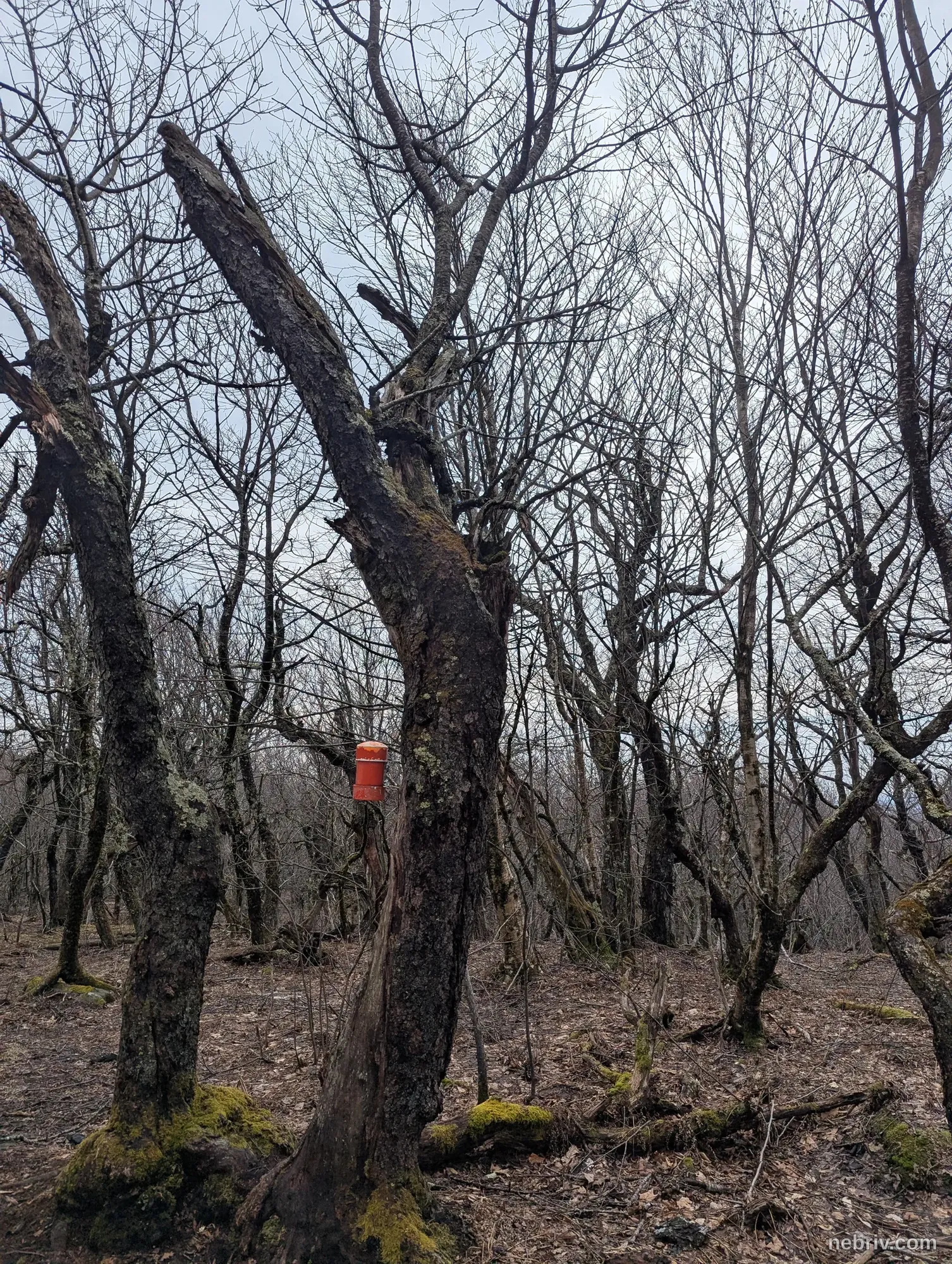
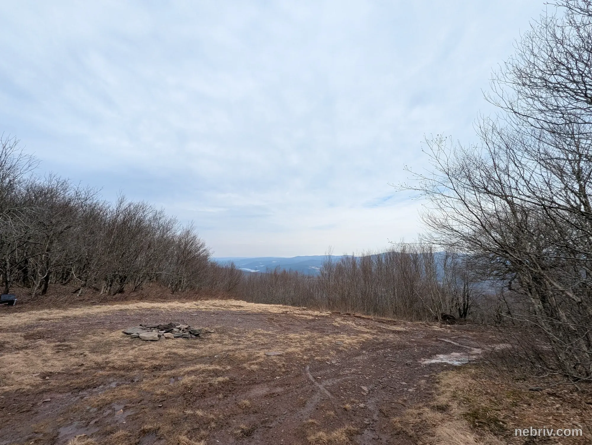
Up Vly, this wasn’t bad. I don’t mind the steeper ascents. A little icy in spots still but managed around. Definitely clawing my way up through the mud. Not much view at the top but definitely a little in the clouds (lets be real, it was fog) which was fun. Could barely see Bearpen. Oh, and of course that glorious Orange Cannister!
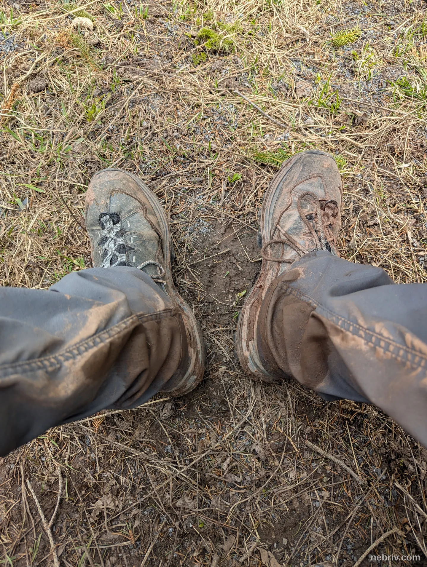
Down was worse, as expected - more like a mud slide than anything. Annnd then the long slog up bearpen. The initial path up the road was decent, but then it got into some two track/single track paths and eventually a hiking path. Very wet and muddy, slipping and sliding.
All the way back down to the car was quick and easy. And did I mention muddy?